
All photos taken late December 2000 by Shane Hill
Approximately four miles of Arkansas Highway 7 was re-routed in the mid-1960's to accomodate the building of the DeGray Dam in Clark County, Arkansas. Here are the remnants of the old Arkansas 7 alignment between Caddo Valley, Arkansas and the Hot Spring County Border.
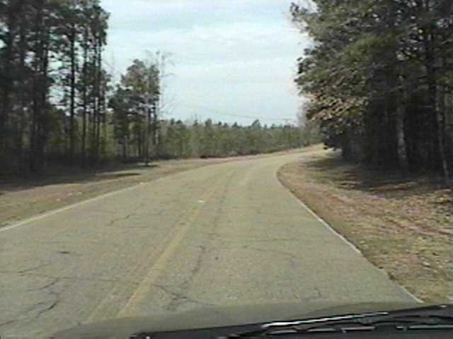
| Looking northbound on the old highway. The current Arkansas 7 is located on the other side of the trees to the right. This section is inaccessible by car.
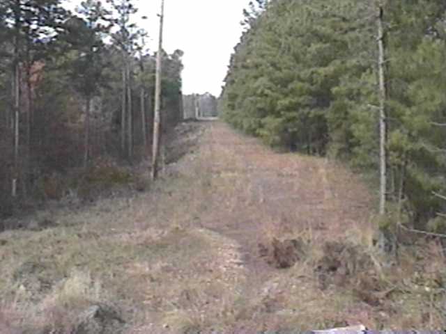
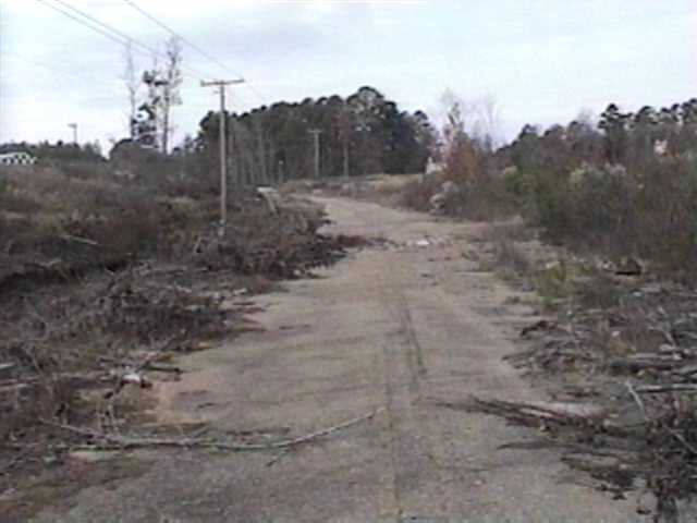
Still looking northbound. This stretch is approximately two miles northwest of Caddo Valley, AR.
| 
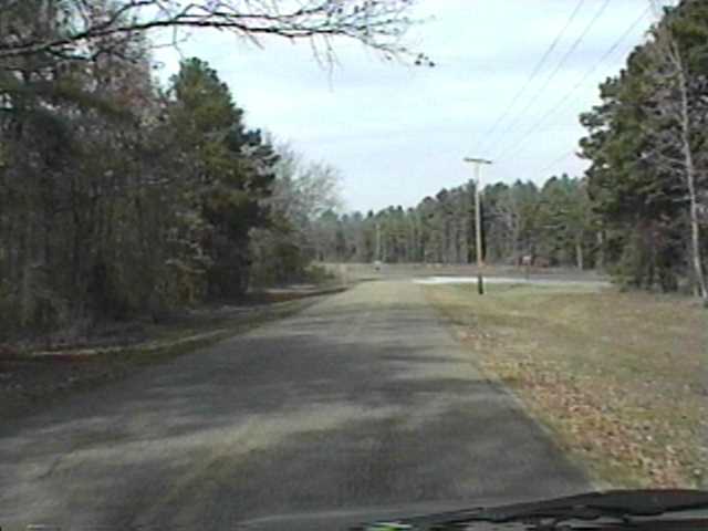
Looking northbound.
| 
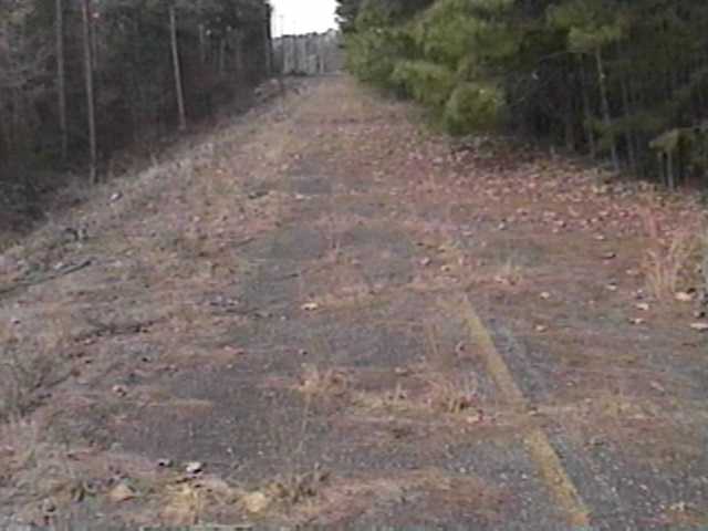
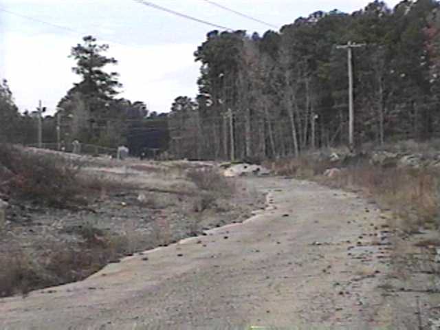
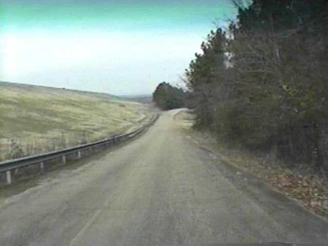
Still looking northbound. The old highways runs in front of a Go-Cart Racing Track to the left.
| 
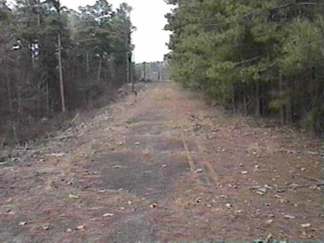
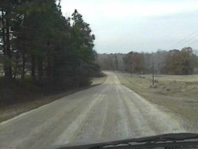
Looking northbound.
| 
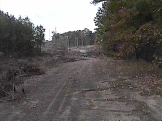
The section of the old highway in front of the race track.
| 
Looking southbound standing on the built-up service road that cuts across the old highway on a very high embankment. You can see remnants of the old road in the shot.
| 
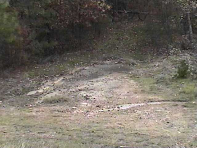
Looking southbound. The old road is almost invisible. If you scratch beneath the leaves, the pavement and an occasional yellow strip will appear.
| 
Heading northbound past the race track.
| 
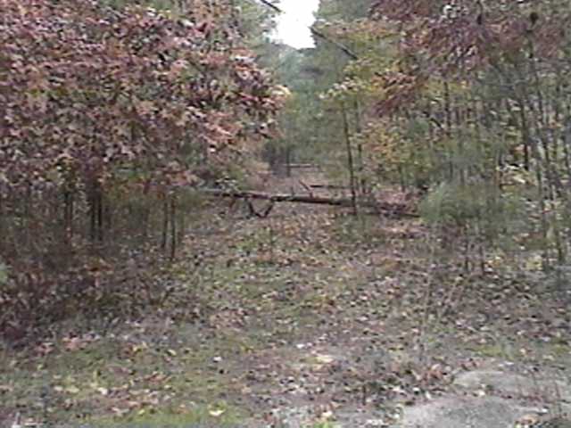
Still northbound. The old road interects several lake access roads.
| 
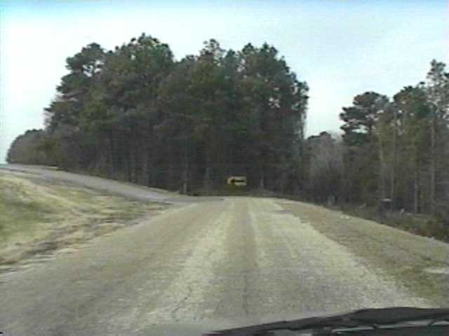
Northbound. The old road intersects the current AR 7 just ahead.
| 
Northbound. The old highway runs parallel with the current AR 7, which runs on the lake levee to the left.
| 
Northbound below the levee.
| 
Northbound. The old highway continued straight behind the arrow sign and intersected the current Arkansas 7 about 100 feet further down. The road to left leads back onto the current Arkansas 7 just past the levee.
| |
The Lost Highway is copyright © 2005 by Jeffrey Carlyle. All photographers retain rights to their photographs. The Lost Highway was originally developed by Andy Field and Alex Nitzman for AARoads.