
Photos, map, and information from Dan Moraseski, 2000
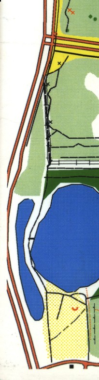
A map of the area, courtesy of Florida Orienteering. At the top is the south entrance to the University of Central Florida, with a realignment to meet Florida 434 further south. At the bottom is Research Pkwy.
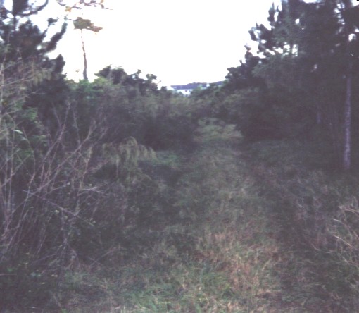
| A view of the old right-of-way.
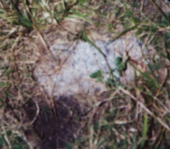
A chunk of old asphalt, the only one Dan could find. This is near the dark green area on the map.
| |
The Lost Highway is copyright © 2005 by Jeffrey Carlyle. All photographers retain rights to their photographs. The Lost Highway was originally developed by Andy Field and Alex Nitzman for AARoads.