
All images taken by Alex Nitzman
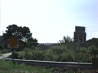
Maryland 591 is very interesting in that its still signed as a state route while disjointed by a closed truss bridge. The two segments of Maryland 591 are very short. The eastern portion is about 1/2 mile while the western portion is around 300 yards or so. The route starts and ends along U.S. 1, paralleling the current U.S. route creek crossing just to the south near Conowingo, MD. This routing was most likely the original path for U.S. 1, and was only signed as Maryland 591 in the late 1990s.
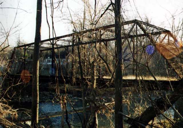
| Looking from the banks of the creek to the west, you can see the state of disrepair this bridge is currently in. Both entrances to the bridge are barracaded with large steel grated plates, that were probably at one time the short appoaches to the truss itself. Photo taken 01/00.
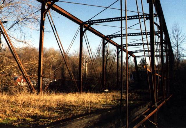
This view takes a look at the bridge from the west. The wooden deck has decayed precipitously, and has succombed to nature in that weeds have sprung up from the planks. Photo taken 01/00.
| 
At the beginning of the eastern segment of Maryland 591 U.S. 1 is this "Bridge Out" signage. The signage overlays a typical Maryland weight restriction sign for bridges.
| 
A closer view of the Maryland 591 shield in place. Notice the newish condition of the sign. Maryland 591 shield vidcaps taken from July of 1999.
| |
The Lost Highway is copyright © 2005 by Jeffrey Carlyle. All photographers retain rights to their photographs. The Lost Highway was originally developed by Andy Field and Alex Nitzman for AARoads.