
This is a stretch of an older alignment of US 50 that lies about 15 miles east of Parkersburg, WV. It is about a third of a mile in length and ends abruptly at a guardrail, over which is the current alignment of US 50. It is now designated as Wood County Rt. 50/32. (Photographs and write-up by Ted Cunningham, May 2004.)
|
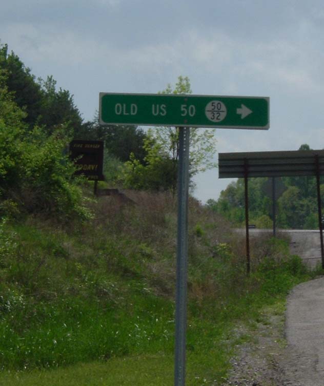
WV County (Wood) Rt. sign showing the name of the road and the fractional route number. |
|
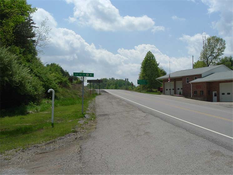
Context of the sign in the above picture. (The current four lane alignment of US 50 is just at the crest of the hill. The road running diagonally down to the right is WV 31) |
|
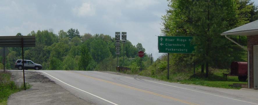
A closer look at the signage at the multiplex of current US 50 and WV 31 |
|
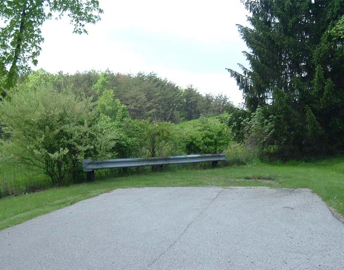
The end of this segment of old US 50, heading westward. Right over that guardrail is the shoulder of the current US 50. |
|
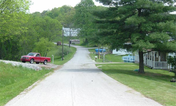
From the same point as the photo above, heading east. The quality of the road is actually pretty good. It is wide enough to be painted two lanes, but since the road belongs to the county, after they asphalted it last time, I don't think they wanted to bother with painting a third of a mile stretch of road. |
Page updated: February 24, 2005
The Lost Highway is copyright © 2005 by Jeffrey Carlyle. All photographers retain rights to their photographs. The Lost Highway was originally developed by Andy Field and Alex Nitzman for AARoads.