
All photos taken December 23, 2000 by Alex Nitzman
U.S. 64 from Plymouth eastward to Manteo cuts through lightly populated counties in eastern North Carolina. Asides the few towns of Scuppernong, Roper, Columbia, etc., the highway traverses wetlands and forest. Throughout these sparsely developed areas, older alignments, some of which are not out of service, can be found. This page takes a look at two of these such segments.
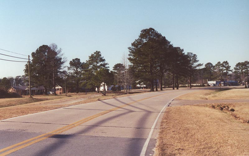
| In the town of Roper, this section of "OLD U.S. 64" carries a small section of twin slab concrete. The current U.S. 64 follows a path just to the north of the town itself. Off to the left is an older section of concrete (depicted below).
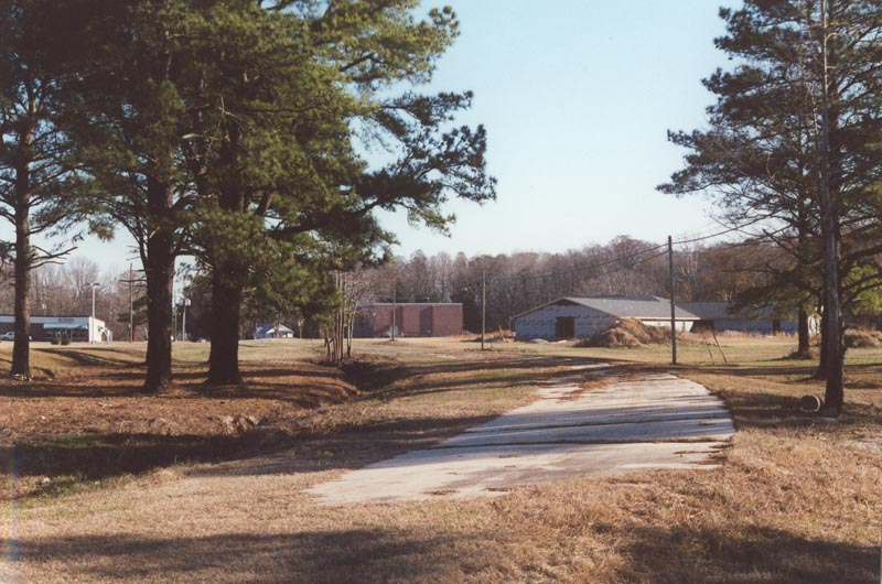
Interesting enough, parallelling the section of "OLD U.S. 64" is this abandoned section of twin slab concrete. The alignment indicates that it may have preceded the alignment in the above photo. Around the bend the roadway would have merged with the highway in the above photo.
| 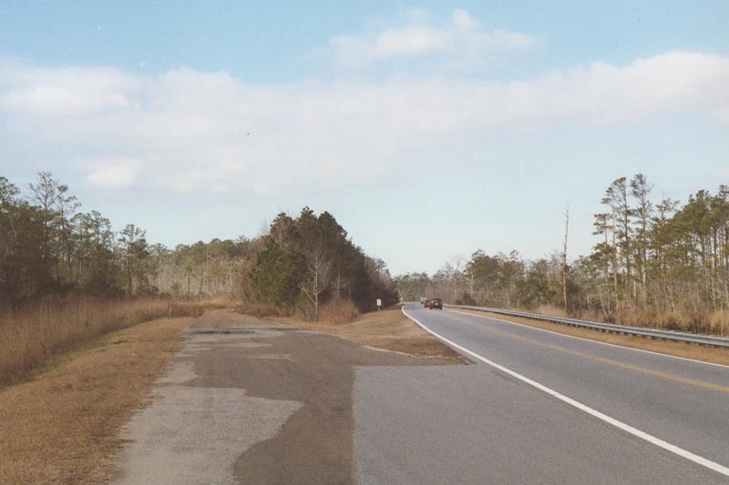
East of Columbia and west of Manns Harbor, U.S. 64 crosses the Aligator River National Wildlife Refuge. Through U.S. 64's trek in this preserve, a couple of older now abandoned segments can be found. One section of twin slab concrete just to the west of the refuge actually veers off to the south into a patch of forested wetlands. | In this photo, a small curved section of U.S. 64 was eliminated and left to decay. The current U.S. 64 takes more of a sweeping curve just to the north of the old alignment. This left an abandoned section no longer then 1/4 mile... |
The Lost Highway is copyright © 2005 by Jeffrey Carlyle. All photographers retain rights to their photographs. The Lost Highway was originally developed by Andy Field and Alex Nitzman for AARoads.