
Photo taken by Patrick Valdez (2003)
Between Deming and Las Cruces, New Mexico, U.S. Highways 70 & 180 overlap with Interstate 10. This of course was not always the case, as the pre-Interstate era of U.S. Highway saw the paired federal highways travel a surface roadway through the desert on the same stretch. This former alignment can still be found in the form of New Mexico 549. The state highway flanks Interstate 10 to the south to the east of Deming. The overlaps of U.S. 70 & 180 with Interstate 10 are not that well publicized. U.S. 180 is hidden on the stretch until it branches from Interstate 10 at Deming (Exit 82). U.S. 70 is also silent until its departure from the freeway at Lordsburg (Exit 24).
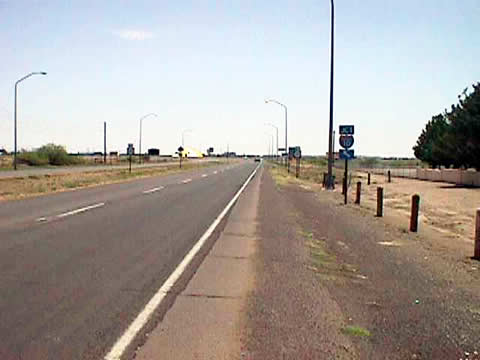
| Looking East on the outskirts of Deming, New Mexico 549
(Motel Drive) continues straight ahead adjacent to Interstate 10 as Business Loop I-10 veers northward to
return to its parent. The Business Loop constitutes the main route through town. Deming Municipal Airport
fronts Motel Drive through this stretch. Photo taken by Patrick Valdez.
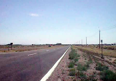
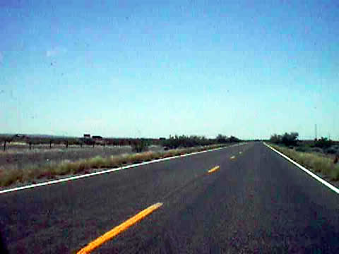
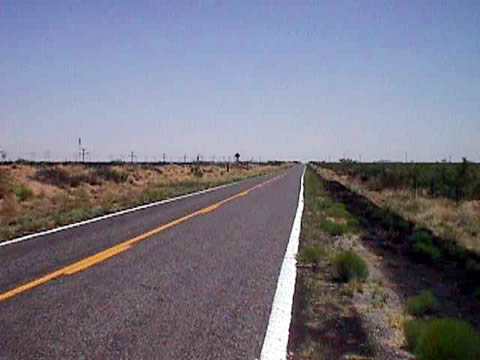
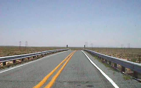
The four-lane section of old U.S. 70/180. New Mexico
549 continues as a four lane facility for about four miles. Apparently the original plan was to simply widen
the U.S. 70/180 roadway between Tucson, AZ and El Paso, TX but the plan was abandoned when the Interstate
system was created and Interstate 10 was planned. This is one of the few sections along Interstate 10 through
New Mexico where the freeway does not run along the original easement of U.S. 70/180.
Photos taken by Patrick Valdez.
| 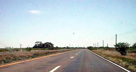
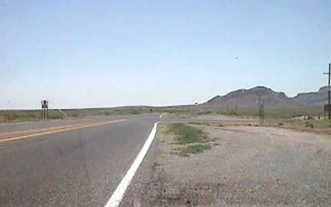
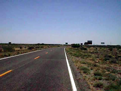
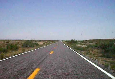
The four-lane section of New Mexico 549 draws to a
close at Rock Hound Road east of Deming. The intersection with Rock Hound is visible in the second photo.
The north-south roadway links old U.S. 70/180 with Rock Hound State Park. Photos taken by Patrick Valdez.
| 
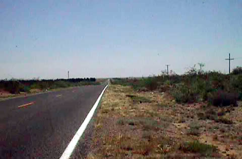
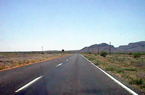
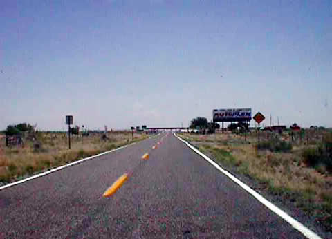
The original plan to widen the road is still
evident as the property lines on the south side of the road are still setback to allow for a four lane
alignment. Photo taken by Patrick Valdez.
| 
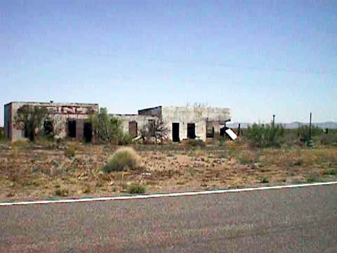
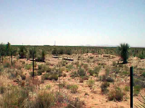
A long abandoned roadside service station with overnight
cabins. The cabins themselves were removed quite some time ago. Photo taken by Patrick Valdez.
| 
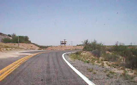
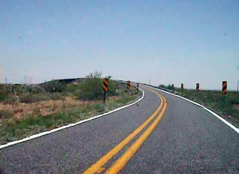
Interstate 10 returns to overtake the easement of the
original U.S. 70/180 east of Deming. Two interchanges facilitate connections between the freeway and New Mexico
549. These junctions compose Exits 102 and 116 of Interstate 10. The Westbound lanes of the freeway run along
the original path of U.S. 70/180 while New Mexico 549 is moved slightly to the south.
Photos taken by Patrick Valdez.
| 
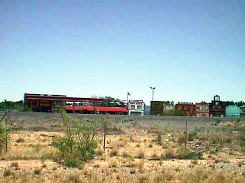
Akela Flats, part of the Bowlin Running Indian company, a well
known southwestern souvenir/roadside attraction chain. Photo taken by Patrick Valdez.
| 
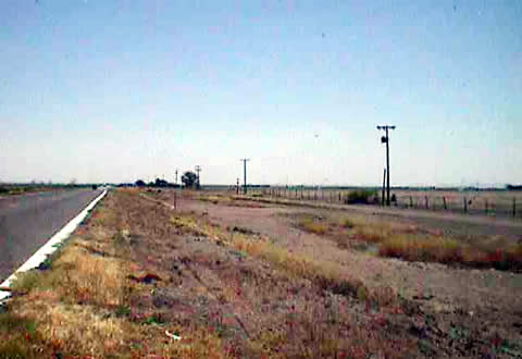
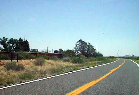
After bending around Interstate 10, New Mexico 549 rejoins
the original path of old U.S. 70/180, parallelling the Union Pacific Railroad Tracks.
Photo taken by Patrick Valdez.
| 
Another abandoned service station. Photo taken by Patrick Valdez.
| 
New Mexico 549 narrows and is restricted to vehicles with
a gross weight of 10 tons or less. Photo taken by Patrick Valdez.
| 
A small "oasis" in the desert who's name is lost to
history. Photo taken by Patrick Valdez.
| 
Near the community of Cambray, New Mexico turns
northeasterly to cross the adjacent Union Pacific Railroad line. A narrow bridge carries New Mexico 549
over the tracks below with a width of only 15 feet. Imagine that situation back when this span carried U.S.
70 & 180... Photos taken by Patrick Valdez.
| 
The final stretches of old U.S. 70/180. New Mexico
549 merges onto Interstate 10 ahead as the original alignment remains under Interstate 10 until the U.S.
70 split west of Las Cruces at Exit 135. It is at that interchange where the other end of the original planned
four-lane highway was completed. Photos taken by Patrick Valdez.
| 
|
Page Updated January 22, 2004.
The Lost Highway is copyright © 2005 by Jeffrey Carlyle. All photographers retain rights to their photographs. The Lost Highway was originally developed by Andy Field and Alex Nitzman for AARoads.