
All photos taken 2003 Tim White
North of Interstate 44 in southwestern Missouri are segments of original U.S. 71 displaced by a freeway bypass. These pieces of highway history are found in the city of Carthage, to the east of Joplin. Current U.S. 71 travels a freeway from Interstate 44 northward to Jasper and the Barton County line. Original U.S. 71 in Carthage follows Garrison Avenue as either Missouri 571 or County V.
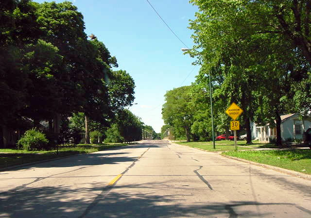
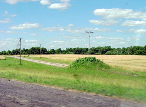
| This is an old two lane alignment of US-71 heading north out
of Carthage MO. The road was bypassed in the late 80's when the 4 lane section was completed. Initially,
the road was designated MO-571 but it is now known as County Rd V. Photo taken by Tim White.
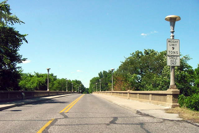
Heading north along the same stretch of old US-71, this
is the first of 3 narrow bridges. Photo taken by Tim White.
| 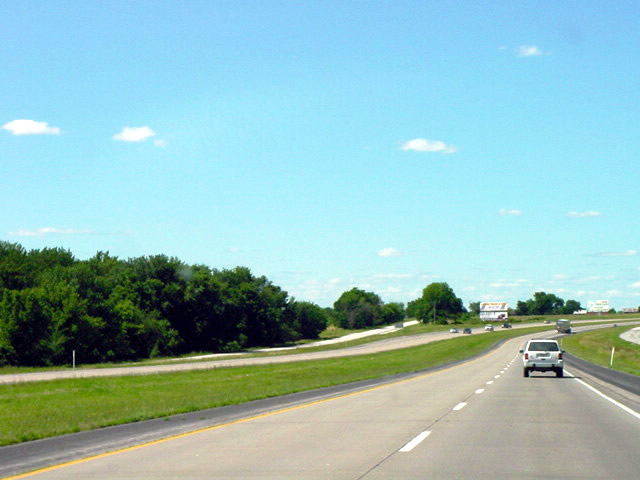
A few miles north of Carthage MO, old US-71 runs parallel
to the current alignment and now serves as an outer road. The old alignment was converted to southbound
traffic only when the northbound lanes of the current alignment were completed in the mid 80s. It remained
that way until the current southbound lanes were completed. The old alignment was completely bypassed in
the late 80s. Photo taken by Tim White.
| 
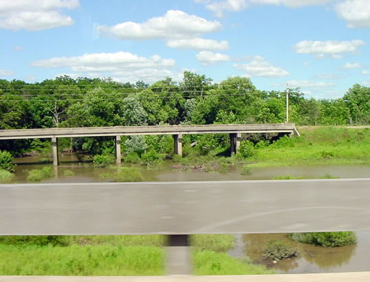
This old bridge is east of the current alignment of US-71
and just south of the Lamar MO exit. The bridge is still in use. Trivia note; Lamar MO is the birthplace
of Harry S. Truman. Photo taken by Tim White.
| 
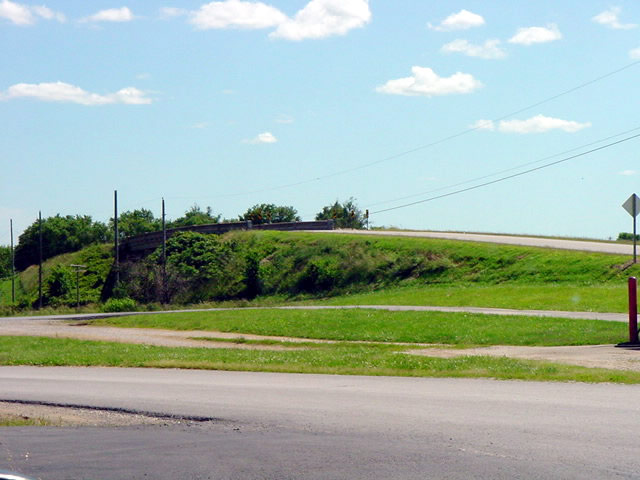
North of Nevada, Missouri resides an abandoned
segment of U.S. 71. Depicted here is the said alignment as it cuts through a farm pasture.
Photo taken by Tim White.
| 
Just east of the current alignment of US-71 sits an abandoned
bridge and 2 lane section of pavement. Photo taken by Tim White.
| |
Page Updated January 22, 2004.
The Lost Highway is copyright © 2005 by Jeffrey Carlyle. All photographers retain rights to their photographs. The Lost Highway was originally developed by Andy Field and Alex Nitzman for AARoads.