
All photos taken December 8, 2000 by Alex Nitzman. Updated information and additional photos by Robert E. Lee (10/29/02).
From Meridian westward paralleling existing U.S. 80 and Interstate 20 is a pre-1960 section of old U.S. 80. The highway is split into three portions, with one abandoned and two designated as old U.S. 80. Adam Froehlig discovered these portions of roadway and was along for all of these photographs.
Old Section: Interstate 20 to Meridian
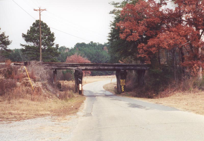
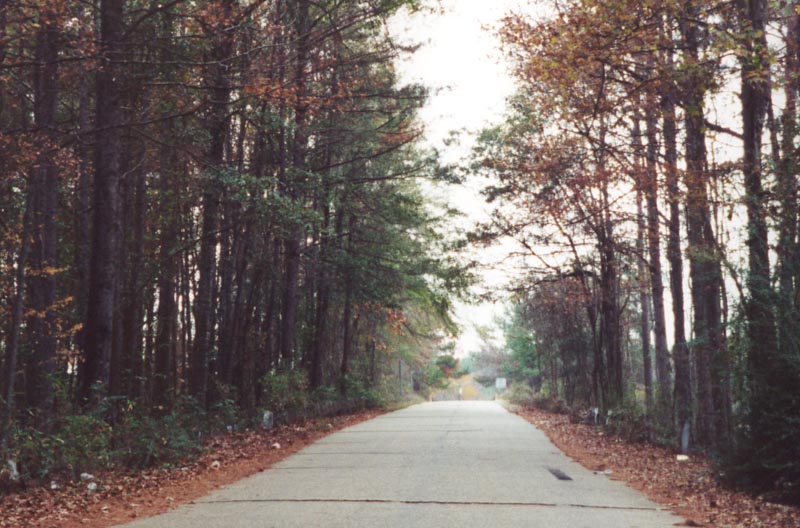
The easternmost section of this highway is designated at "OLD U.S. Hwy 80." The highway is still open to traffic and is home to homes and businesses in west Meridian. This photo shows a narrow substandard railroad overpass along the route.
| Abandoned Section
| 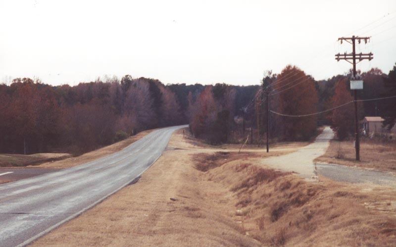
As Old U.S. 80 heads west out of Meridian, it meets with Interstate 20 where it re-obtains the U.S. 80 designation westward. Not to far west from the interchange, present U.S. 80 diverges to the south and west, while pre 1960 U.S. 80 takes a path slightly further to the north. This section of roadway has been officially closed and is no longer maintained by Lauderdale
County. However, it is still accessible by car.
| 
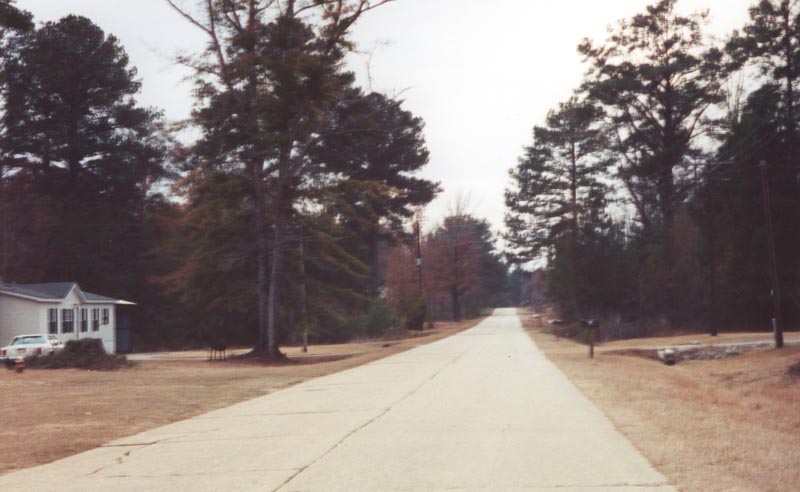
Slightly further west and the deterioration continues. Notice that a house is still present along the southside of the roadway. Traffic, however, is relegated to one through lane of travel at this point.
| 
West of the last dwelling, Road Closed signs are present. However, as one continues along the roadway, one finds that the twin slab concrete is still fairly intact after almost 50 years of neglect.
| 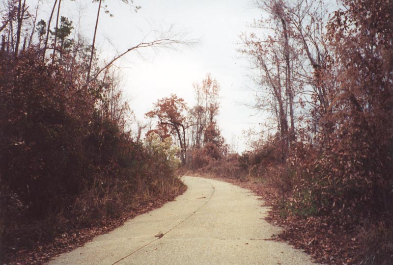
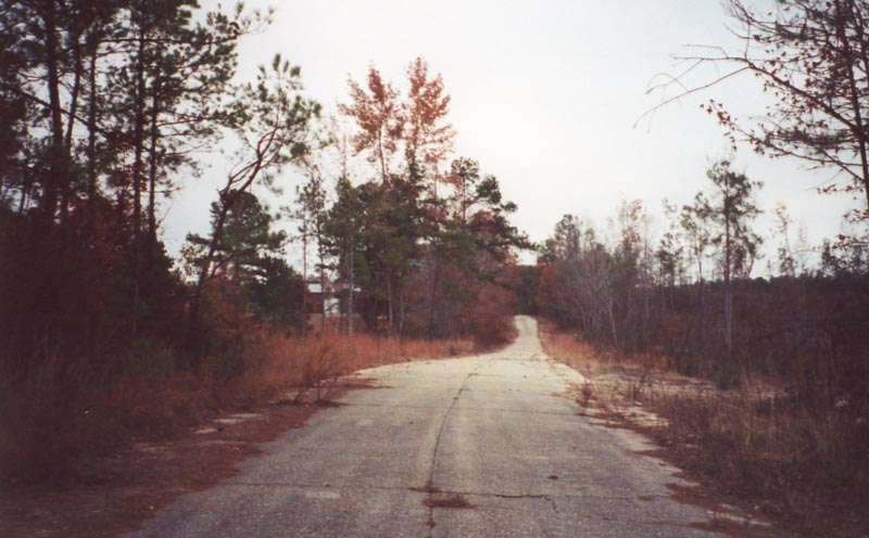
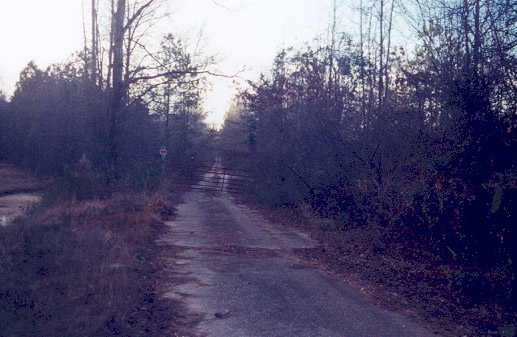
As the road winds westward, vegetation overtakes more of the road's surface. With this in mind, it is still possible to travel by car.
| 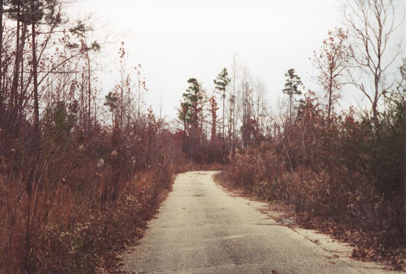
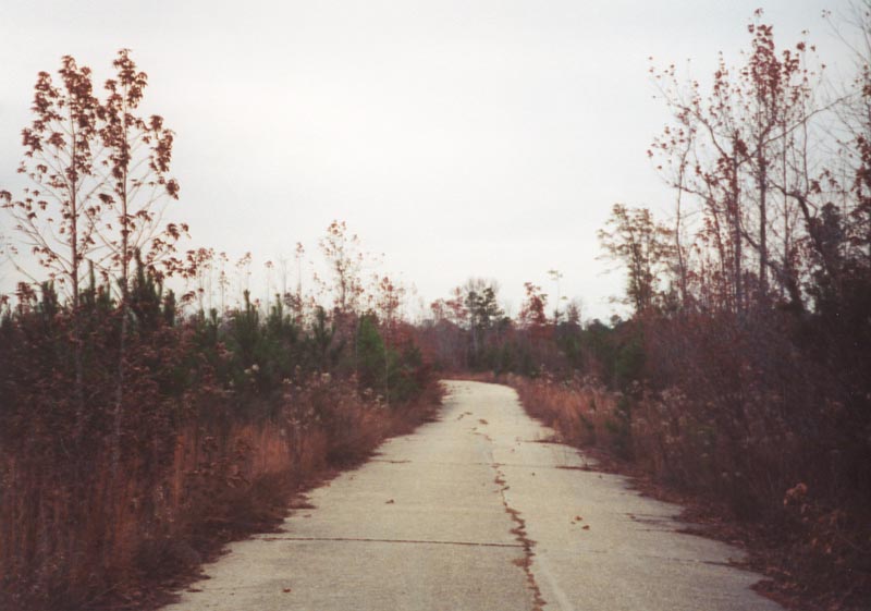
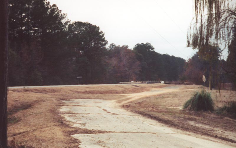
At the very end of the roadway, the scene is depicted here. Just behind the camera the road drops off to current U.S. 80.
| 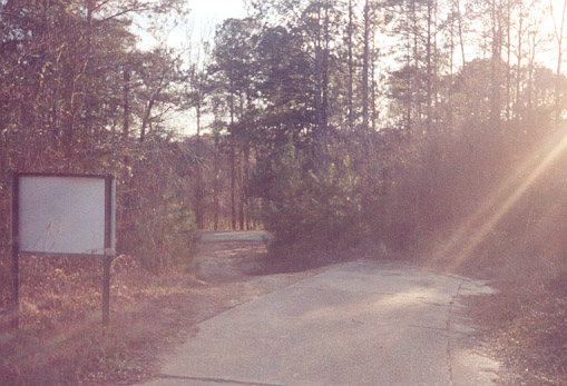
The end of the abandoned section. The sign displays "Road Closed" (white background, blue letters). It is possible to drive down the embankment (as we did...) and rejoin the newer roadway (in the background). Suspicion arouses that one of the main reasons that old U.S. 80 has not been completely overtaken by vegetation is due to locals using this road to shortcut back to the new road, or for joy riding with 4 wheelers. Photo taken by Robert E. Lee (10/02).
| Old section: Meehan Junction
| 
As seen in the previous photos, the 2nd section of old Highway 80 merged back with current U.S. 80. A third section of highway begins just off to the west of the previous photograph. After crossing an old concrete bridge, old U.S. 80 begins to deteriorate with vegetation overgrowth overtaking the edges of the roadway
| 
A little further to the west and we see the twin slab old U.S. 80.
| 
This segment of old Highway 80 reunites with current U.S. 80 behind the camera at a realigned segment. The twin slab concrete still remains showing the original curvature of the roadway. The sign in the background marks the western edge of the community of Meehan Junction.
| 
What is believed to be another abandoned section of U.S. 80 just west of the bridge in the above picture. The old concrete starts off of the right-of-way
next to a long-abandoned bar. Unlike the other sections of abandoned U.S. 80, this section is on private property. Photo taken by Robert E. Lee (10/02).
| | ||||||||||||||
|---|---|---|---|---|---|---|---|---|---|---|---|---|---|---|---|---|---|---|---|---|---|---|---|---|---|---|---|
Page Updated November 5, 2002.
The Lost Highway is copyright © 2005 by Jeffrey Carlyle. All photographers retain rights to their photographs. The Lost Highway was originally developed by Andy Field and Alex Nitzman for AARoads.